Riding solstice while I can. Salida, co
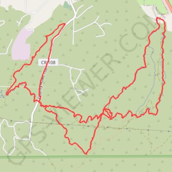
- Distance: 14.6 Km
- Elevation gain: 438 m
- Maximum elevation: 2,416 m
- Elevation loss: 437 m
- Minimum elevation: 2,154 m
- Moving time: 1 h 11 m
- Moving speed: 12.2 Km/h
- Maximum speed: 38.8 Km/h
- Total time: 1 h 27 m
- Global speed: 10.1 Km/h
Interactive trail map
Trail profile
- Distance: 14.6 Km
- Elevation gain: 438 m
- Maximum elevation: 2,416 m
- Elevation loss: 437 m
- Minimum elevation: 2,154 m
- Moving time: 1 h 11 m
- Moving speed: 12.2 Km/h
- Maximum speed: 38.8 Km/h
- Total time: 1 h 27 m
- Global speed: 10.1 Km/h
About this trail
Name: Riding solstice while I can. Salida, co trail, distance, elevation, map, profile, GPS track
Start: BLM 5672, Salida, Chaffee County, Colorado, United States (38.51066 -105.97987)
End: BLM 5672, Salida, Chaffee County, Colorado, United States (38.51058 -105.97974)
Coordinates: 38.49233 -106.01008 38.51295 -105.97940