Fiery Furnace Loop Trail and Overlook in Arches National Park
The Fiery Furnace Loop Trail in Arches National Park offers a thrilling, self-navigated journey through a maze of towering sandstone fins, narrow canyons, and hidden arches such as Skull Arch, Kissing Turtle Arch, and Surprise Arch. The landscape demands both physical agility and careful navigation, with route-finding challenges and natural rock obstacles adding to the adventure. As you explore features like the aptly named Pit of Possible Return, you'll encounter breathtaking formations and the quiet beauty of this unique, protected environment. #Hiking #Loop #Arch #Nature #Desert #Rock #Overlook
- Distance: 3.4 Km
- Elevation gain: 155 m
- Maximum elevation: 1,510 m
- Elevation loss: 155 m
- Minimum elevation: 1,422 m
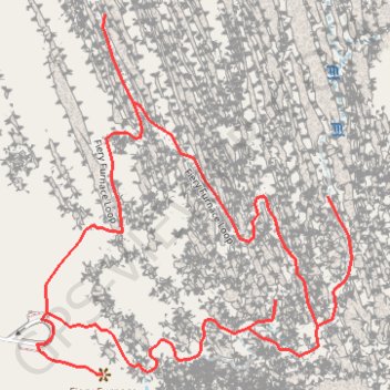
Interactive trail map
Trail profile
- Distance: 3.4 Km
- Elevation gain: 155 m
- Maximum elevation: 1,510 m
- Elevation loss: 155 m
- Minimum elevation: 1,422 m
About this trail
Name: Fiery Furnace Loop Trail and Overlook in Arches National Park trail, distance, elevation, map, profile, GPS track
Start: Fiery Furnace Viewpoint, Grand County, Utah, United States (38.74275 -109.56601)
End: Fiery Furnace Viewpoint, Grand County, Utah, United States (38.74275 -109.56601)
Coordinates: 38.74228 -109.56601 38.74788 -109.55974