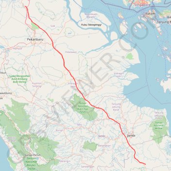
Pipeline TGI by AGM
- Distance: 531.4 Km
- Elevation gain: 1,808 m
- Maximum elevation: 97 m
- Elevation loss: 1,824 m
- Minimum elevation: 3 m
Interactive trail map
Trail profile
- Distance: 531.4 Km
- Elevation gain: 1,808 m
- Maximum elevation: 97 m
- Elevation loss: 1,824 m
- Minimum elevation: 3 m
About this trail
Name: Pipeline TGI by AGM trail, distance, elevation, map, profile, GPS track
Coordinates: -2.28830 101.23386 1.26122 103.93528
Other hiking, mountain biking, running and outdoor activity trails
Click on a trail to view its statistics, map and profile.