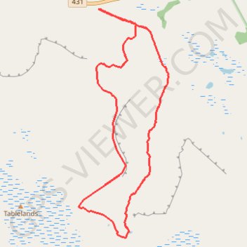
Tablelands
Interactive trail map
Trail profile
- Distance: 13.2 Km
- Elevation gain: 584 m
- Maximum elevation: 671 m
- Elevation loss: 585 m
- Minimum elevation: 162 m
About this trail
Name: Tablelands trail, distance, elevation, map, profile, GPS track
Start: Tablelands - Off Trail Hike, Newfoundland, Newfoundland and Labrador, Canada (49.46595 -57.95727)
End: Tablelands - Off Trail Hike, Newfoundland, Newfoundland and Labrador, Canada (49.46601 -57.95724)
Coordinates: 49.44107 -57.97951 49.47820 -57.95699