Minnesota Voyageur Trail Ultramarathon
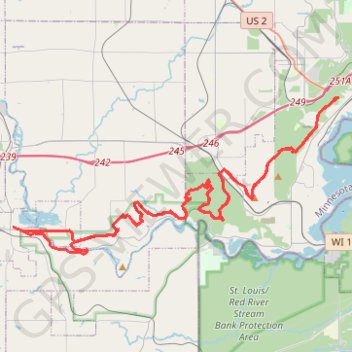
Interactive trail map
Trail profile
- Distance: 79.7 Km
- Elevation gain: 1,405 m
- Maximum elevation: 381 m
- Elevation loss: 1,405 m
- Minimum elevation: 196 m
- Moving time: 7 h 58 m
- Moving speed: 10.0 Km/h
- Maximum speed: 11.9 Km/h
- Total time: 7 h 58 m
- Global speed: 10.0 Km/h
About this trail
Name: Minnesota Voyageur Trail Ultramarathon trail, distance, elevation, map, profile, GPS track
Coordinates: 46.65167 -92.42273 46.72744 -92.19266
Other hiking, mountain biking, running and outdoor activity trails
Click on a trail to view its statistics, map and profile.
Silver Creek Loop Trail in Jay Cooke State Park
United States > Minnesota > Carlton County > Carlton
The Silver Creek Loop Trail offers a memorable outdoor experience, showcasing a variety of natural elements. Hikers are greeted with picturesque views of the St. Louis River and Silver Creek, as well as sections of dense hardwood forests filled with birch and basswood trees. Along the route, the landscape…
Distance: 5.5 Km • Elevation gain: 92 m • Maximum elevation: 294 m