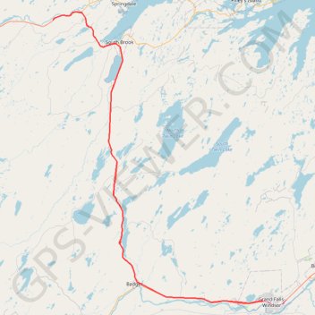
Sheppardville - Grand Falls-Windsor
#Bike #Sheppardville #GrandFalls #Windsor #Newfoundland
- Distance: 101.5 Km
- Elevation gain: 566 m
- Maximum elevation: 201 m
- Elevation loss: 560 m
- Minimum elevation: 8 m
Interactive trail map
Trail profile
- Distance: 101.5 Km
- Elevation gain: 566 m
- Maximum elevation: 201 m
- Elevation loss: 560 m
- Minimum elevation: 8 m
About this trail
Name: Sheppardville - Grand Falls-Windsor trail, distance, elevation, map, profile, GPS track
Coordinates: 48.94165 -56.27645 49.48453 -55.67918
Other hiking, mountain biking, running and outdoor activity trails
Click on a trail to view its statistics, map and profile.
Grand Falls-Windsor - Gander
Canada > Newfoundland and Labrador > Grand Falls-Windsor
#Bike #GrandFalls #Windsor #Gander #Newfoundland
Distance: 98.4 Km • Elevation gain: 699 m • Maximum elevation: 145 m