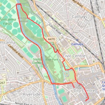
Bute Park Loop
- Distance: 5.3 Km
- Elevation gain: 35 m
- Maximum elevation: 21 m
- Elevation loss: 33 m
- Minimum elevation: 8 m
- Moving time: 1 h 15 m
- Moving speed: 4.2 Km/h
- Maximum speed: 16.7 Km/h
- Total time: 1 h 19 m
- Global speed: 4.0 Km/h
Interactive trail map
Trail profile
- Distance: 5.3 Km
- Elevation gain: 35 m
- Maximum elevation: 21 m
- Elevation loss: 33 m
- Minimum elevation: 8 m
- Moving time: 1 h 15 m
- Moving speed: 4.2 Km/h
- Maximum speed: 16.7 Km/h
- Total time: 1 h 19 m
- Global speed: 4.0 Km/h
About this trail
Name: Bute Park Loop trail, distance, elevation, map, profile, GPS track
Coordinates: 51.47787 -3.19662 51.49546 -3.17564