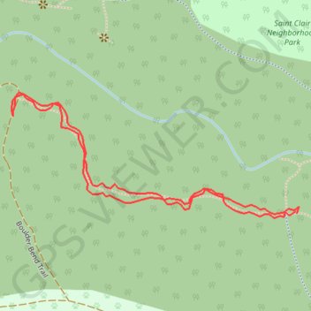
West path Whatcom Falls south
- Distance: 1.0 Km
- Elevation gain: 16 m
- Maximum elevation: 71 m
- Elevation loss: 16 m
- Minimum elevation: 56 m
- Moving time: 16 m 22 s
- Moving speed: 3.6 Km/h
- Maximum speed: 5.8 Km/h
- Total time: 16 m 22 s
- Global speed: 3.6 Km/h
Interactive trail map
Trail profile
- Distance: 1.0 Km
- Elevation gain: 16 m
- Maximum elevation: 71 m
- Elevation loss: 16 m
- Minimum elevation: 56 m
- Moving time: 16 m 22 s
- Moving speed: 3.6 Km/h
- Maximum speed: 5.8 Km/h
- Total time: 16 m 22 s
- Global speed: 3.6 Km/h
About this trail
Name: West path Whatcom Falls south trail, distance, elevation, map, profile, GPS track
Coordinates: 48.75458 -122.44272 48.75592 -122.43806