Hiking Crow Wing State Park
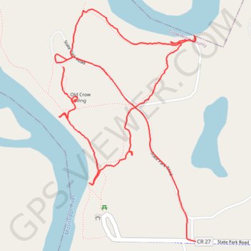
- Distance: 3.2 Km
- Elevation gain: 34 m
- Maximum elevation: 365 m
- Elevation loss: 34 m
- Minimum elevation: 352 m
- Moving time: 36 m 52 s
- Moving speed: 5.2 Km/h
- Maximum speed: 25.7 Km/h
- Total time: 44 m 40 s
- Global speed: 4.3 Km/h
Interactive trail map
Trail profile
- Distance: 3.2 Km
- Elevation gain: 34 m
- Maximum elevation: 365 m
- Elevation loss: 34 m
- Minimum elevation: 352 m
- Moving time: 36 m 52 s
- Moving speed: 5.2 Km/h
- Maximum speed: 25.7 Km/h
- Total time: 44 m 40 s
- Global speed: 4.3 Km/h
About this trail
Name: Hiking Crow Wing State Park trail, distance, elevation, map, profile, GPS track
Start: State Park Road, Crow Wing County, Minnesota, United States (46.27824 -94.33811)
End: State Park Road, Crow Wing County, Minnesota, United States (46.27275 -94.33208)
Coordinates: 46.27275 -94.33847 46.28005 -94.33208