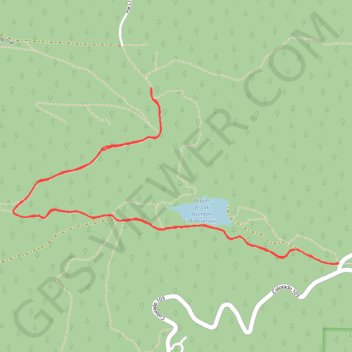
Lower Beaver Brook Watershed
Interactive trail map
Trail profile
- Distance: 7.6 Km
- Elevation gain: 227 m
- Maximum elevation: 2,701 m
- Elevation loss: 227 m
- Minimum elevation: 2,564 m
- Moving time: 1 h 49 m
- Moving speed: 4.1 Km/h
- Maximum speed: 8.6 Km/h
- Total time: 1 h 57 m
- Global speed: 3.9 Km/h
About this trail
Name: Lower Beaver Brook Watershed trail, distance, elevation, map, profile, GPS track
Start: 1, Pine Valley Road, Clear Creek County, Colorado, 80439, United States (39.69012 -105.42299)
End: 1, Pine Valley Road, Clear Creek County, Colorado, 80439, United States (39.69010 -105.42292)
Coordinates: 39.69006 -105.44760 39.70035 -105.42292