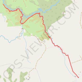
Mangakaretu Upper Track
- Distance: 3.5 Km
- Elevation gain: 60 m
- Maximum elevation: 308 m
- Elevation loss: 50 m
- Minimum elevation: 269 m
- Moving time: 49 m 41 s
- Moving speed: 4.3 Km/h
- Maximum speed: 6.3 Km/h
- Total time: 1 h 4 m
- Global speed: 3.3 Km/h
Interactive trail map
Trail profile
- Distance: 3.5 Km
- Elevation gain: 60 m
- Maximum elevation: 308 m
- Elevation loss: 50 m
- Minimum elevation: 269 m
- Moving time: 49 m 41 s
- Moving speed: 4.3 Km/h
- Maximum speed: 6.3 Km/h
- Total time: 1 h 4 m
- Global speed: 3.3 Km/h
About this trail
Name: Mangakaretu Upper Track trail, distance, elevation, map, profile, GPS track
Coordinates: -35.23557 173.80586 -35.22072 173.82459