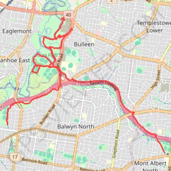
Elgar Park to Hays Paddock including Bolin Bolin Trail
- Distance: 18.0 Km
- Elevation gain: 116 m
- Maximum elevation: 58 m
- Elevation loss: 145 m
- Minimum elevation: 12 m
- Moving time: 1 h 51 m
- Moving speed: 9.7 Km/h
- Maximum speed: 37.2 Km/h
- Total time: 2 h 1 m
- Global speed: 8.9 Km/h
Interactive trail map
Trail profile
- Distance: 18.0 Km
- Elevation gain: 116 m
- Maximum elevation: 58 m
- Elevation loss: 145 m
- Minimum elevation: 12 m
- Moving time: 1 h 51 m
- Moving speed: 9.7 Km/h
- Maximum speed: 37.2 Km/h
- Total time: 2 h 1 m
- Global speed: 8.9 Km/h
About this trail
Name: Elgar Park to Hays Paddock including Bolin Bolin Trail trail, distance, elevation, map, profile, GPS track
Coordinates: -37.79951 145.05970 -37.76149 145.11586
Other hiking, mountain biking, running and outdoor activity trails
Click on a trail to view its statistics, map and profile.
Tallarook - Eildon - Hurstbridge
Australia > Victoria > Tallarook
#Bike
Distance: 278.8 Km • Elevation gain: 4,897 m • Maximum elevation: 868 m
Ashburton to Mernda (cycle)
Australia > Victoria > Melbourne
Distance: 42.2 Km • Elevation gain: 392 m • Maximum elevation: 163 m