Import a GPX file

Bisti Badlands Loop

Loop hike in Bisti/De-Na-Zin Wilderness. #Hiking #Loop #Nature #Desert #Rock #Wilderness

  • Distance: 8.6 Km
  • Elevation gain: 44 m
  • Maximum elevation: 1,787 m
  • Elevation loss: 45 m
  • Minimum elevation: 1,762 m

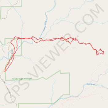
Interactive trail map

Trail profile

  • Distance: 8.6 Km
  • Elevation gain: 44 m
  • Maximum elevation: 1,787 m
  • Elevation loss: 45 m
  • Minimum elevation: 1,762 m

About this trail

Name: Bisti Badlands Loop trail, distance, elevation, map, profile, GPS track

Start: County Road 7290, Eastern Navajo Agency, San Juan County, New Mexico, United States (36.27154 -108.25710)

End: County Road 7290, Eastern Navajo Agency, San Juan County, New Mexico, United States (36.27162 -108.25728)

Coordinates: 36.27154 -108.25728 36.27936 -108.22948