Clarion/Little Toby Trail
- Distance: 9.8 Km
- Elevation gain: 88 m
- Maximum elevation: 445 m
- Elevation loss: 114 m
- Minimum elevation: 407 m
- Moving time: 50 m 48 s
- Moving speed: 11.6 Km/h
- Maximum speed: 24.2 Km/h
- Total time: 1 h 2 m
- Global speed: 9.4 Km/h
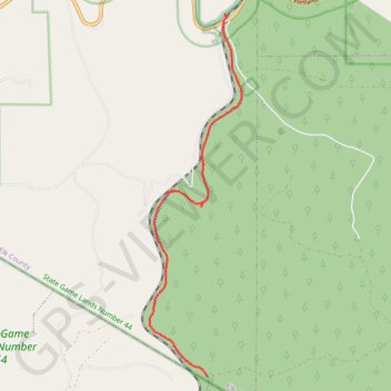
Interactive trail map
Trail profile
- Distance: 9.8 Km
- Elevation gain: 88 m
- Maximum elevation: 445 m
- Elevation loss: 114 m
- Minimum elevation: 407 m
- Moving time: 50 m 48 s
- Moving speed: 11.6 Km/h
- Maximum speed: 24.2 Km/h
- Total time: 1 h 2 m
- Global speed: 9.4 Km/h
About this trail
Name: Clarion/Little Toby Trail trail, distance, elevation, map, profile, GPS track
Coordinates: 41.30391 -78.83945 41.36797 -78.81769