Pushawalla Palms Loop
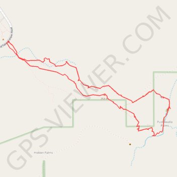
Interactive trail map
Trail profile
- Distance: 7.7 Km
- Elevation gain: 226 m
- Maximum elevation: 251 m
- Elevation loss: 225 m
- Minimum elevation: 159 m
About this trail
Name: Pushawalla Palms Loop trail, distance, elevation, map, profile, GPS track
Start: Pushwalla Palms Trail, Riverside County, California, United States (33.83181 -116.29606)
End: Pushwalla Palms Trail, Riverside County, California, United States (33.83174 -116.29605)
Coordinates: 33.82256 -116.30735 33.83531 -116.28075
Other hiking, mountain biking, running and outdoor activity trails
Click on a trail to view its statistics, map and profile.