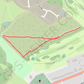
Stafford Castle
- Distance: 1.1 Km
- Elevation gain: 15 m
- Maximum elevation: 112 m
- Elevation loss: 12 m
- Minimum elevation: 97 m
- Moving time: 13 m 21 s
- Moving speed: 4.8 Km/h
- Maximum speed: 7.2 Km/h
- Total time: 13 m 58 s
- Global speed: 4.6 Km/h
Interactive trail map
Trail profile
- Distance: 1.1 Km
- Elevation gain: 15 m
- Maximum elevation: 112 m
- Elevation loss: 12 m
- Minimum elevation: 97 m
- Moving time: 13 m 21 s
- Moving speed: 4.8 Km/h
- Maximum speed: 7.2 Km/h
- Total time: 13 m 58 s
- Global speed: 4.6 Km/h
About this trail
Name: Stafford Castle trail, distance, elevation, map, profile, GPS track
Coordinates: 52.79841 -2.14476 52.80025 -2.13678