Poppleton to Redhouse Wood by River Ouse
Morning Walk
- Distance: 8.7 Km
- Elevation gain: 35 m
- Maximum elevation: 15 m
- Elevation loss: 31 m
- Minimum elevation: 8 m
- Moving time: 1 h 57 m
- Moving speed: 4.5 Km/h
- Maximum speed: 6.7 Km/h
- Total time: 2 h 4 m
- Global speed: 4.2 Km/h
Interactive trail map
Trail profile
- Distance: 8.7 Km
- Elevation gain: 35 m
- Maximum elevation: 15 m
- Elevation loss: 31 m
- Minimum elevation: 8 m
- Moving time: 1 h 57 m
- Moving speed: 4.5 Km/h
- Maximum speed: 6.7 Km/h
- Total time: 2 h 4 m
- Global speed: 4.2 Km/h
About this trail
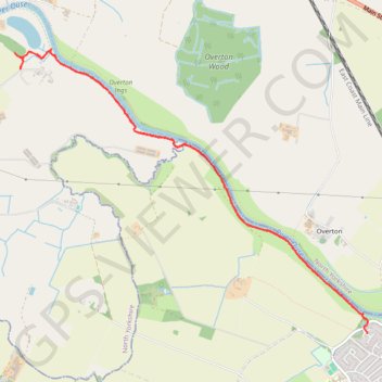
Name: Poppleton to Redhouse Wood by River Ouse trail, distance, elevation, map, profile, GPS track
Coordinates: 53.98743 -1.19672 54.00896 -1.15128