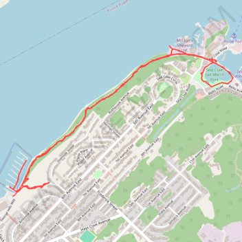
Rushbrook Trail and Sea Cove Salt Marsh Park
- Distance: 5.4 Km
- Elevation gain: 172 m
- Maximum elevation: 40 m
- Elevation loss: 178 m
- Minimum elevation: -1 m
- Moving time: 1 h 27 m
- Moving speed: 3.7 Km/h
- Maximum speed: 8.1 Km/h
- Total time: 1 h 41 m
- Global speed: 3.2 Km/h
Interactive trail map
Trail profile
- Distance: 5.4 Km
- Elevation gain: 172 m
- Maximum elevation: 40 m
- Elevation loss: 178 m
- Minimum elevation: -1 m
- Moving time: 1 h 27 m
- Moving speed: 3.7 Km/h
- Maximum speed: 8.1 Km/h
- Total time: 1 h 41 m
- Global speed: 3.2 Km/h
About this trail
Name: Rushbrook Trail and Sea Cove Salt Marsh Park trail, distance, elevation, map, profile, GPS track
Coordinates: 54.32356 -130.30658 54.33282 -130.28300
Other hiking, mountain biking, running and outdoor activity trails
Click on a trail to view its statistics, map and profile.