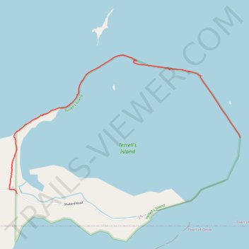
Terrell's Island trail
- Distance: 3.6 Km
- Elevation gain: 10 m
- Maximum elevation: 234 m
- Elevation loss: 6 m
- Minimum elevation: 225 m
- Moving time: 45 m 31 s
- Moving speed: 4.7 Km/h
- Maximum speed: 13.8 Km/h
- Total time: 48 m 18 s
- Global speed: 4.4 Km/h
Interactive trail map
Trail profile
- Distance: 3.6 Km
- Elevation gain: 10 m
- Maximum elevation: 234 m
- Elevation loss: 6 m
- Minimum elevation: 225 m
- Moving time: 45 m 31 s
- Moving speed: 4.7 Km/h
- Maximum speed: 13.8 Km/h
- Total time: 48 m 18 s
- Global speed: 4.4 Km/h
About this trail
Name: Terrell's Island trail trail, distance, elevation, map, profile, GPS track
Coordinates: 44.07217 -88.67893 44.08392 -88.65180