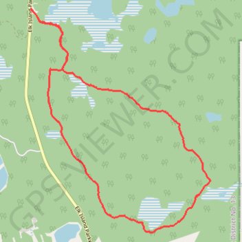
Elk Island National Park
Interactive trail map
Trail profile
- Distance: 12.1 Km
- Elevation gain: 62 m
- Maximum elevation: 742 m
- Elevation loss: 62 m
- Minimum elevation: 716 m
About this trail
Name: Elk Island National Park trail, distance, elevation, map, profile, GPS track
Start: Elk Island Parkway, Improvement District No. 13, Alberta, Canada (53.63362 -112.85768)
End: Elk Island Parkway, Improvement District No. 13, Alberta, Canada (53.63360 -112.85764)
Coordinates: 53.59920 -112.85768 53.63366 -112.81102