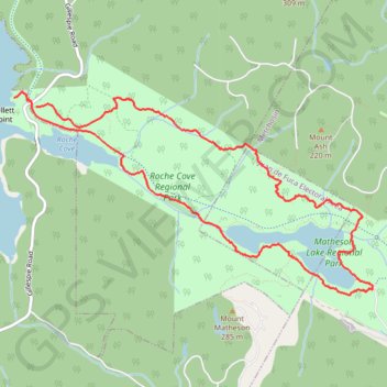
Matheson Lake - Roche Cove
Interactive trail map
Trail profile
- Distance: 9.0 Km
- Elevation gain: 258 m
- Maximum elevation: 123 m
- Elevation loss: 251 m
- Minimum elevation: 11 m
About this trail
Name: Matheson Lake - Roche Cove trail, distance, elevation, map, profile, GPS track
Coordinates: 48.36030 -123.63518 48.37553 -123.59467