Walk in the forest
- Distance: 1.0 Km
- Elevation gain: 9 m
- Maximum elevation: 23 m
- Elevation loss: 13 m
- Minimum elevation: 10 m
- Moving time: 19 m 3 s
- Moving speed: 3.1 Km/h
- Maximum speed: 6.5 Km/h
- Total time: 23 m 57 s
- Global speed: 2.5 Km/h
Interactive trail map
Trail profile
- Distance: 1.0 Km
- Elevation gain: 9 m
- Maximum elevation: 23 m
- Elevation loss: 13 m
- Minimum elevation: 10 m
- Moving time: 19 m 3 s
- Moving speed: 3.1 Km/h
- Maximum speed: 6.5 Km/h
- Total time: 23 m 57 s
- Global speed: 2.5 Km/h
About this trail
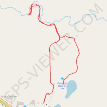
Name: Walk in the forest trail, distance, elevation, map, profile, GPS track
Coordinates: 51.79732 -4.79746 51.80025 -4.79499