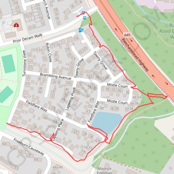
Canley footpath
- Distance: 1.0 Km
- Elevation gain: 3 m
- Maximum elevation: 93 m
- Elevation loss: 4 m
- Minimum elevation: 89 m
- Moving time: 14 m 53 s
- Moving speed: 4.1 Km/h
- Maximum speed: 6.0 Km/h
- Total time: 21 m 49 s
- Global speed: 2.8 Km/h
Interactive trail map
Trail profile
- Distance: 1.0 Km
- Elevation gain: 3 m
- Maximum elevation: 93 m
- Elevation loss: 4 m
- Minimum elevation: 89 m
- Moving time: 14 m 53 s
- Moving speed: 4.1 Km/h
- Maximum speed: 6.0 Km/h
- Total time: 21 m 49 s
- Global speed: 2.8 Km/h
About this trail
Name: Canley footpath trail, distance, elevation, map, profile, GPS track
Coordinates: 52.39230 -1.55815 52.39525 -1.55294
Other hiking, mountain biking, running and outdoor activity trails
Click on a trail to view its statistics, map and profile.
The Great Coventry Foodbankathon 2025
United Kingdom > England > Coventry
Distance: 32.6 Km • Elevation gain: 226 m • Maximum elevation: 121 m