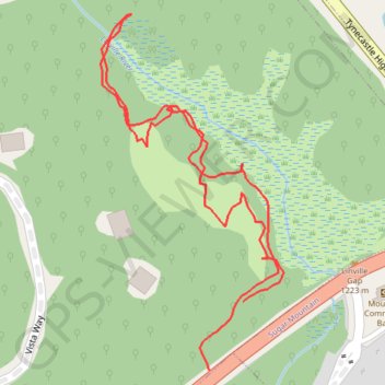
Linville Gap trail
- Distance: 1.4 Km
- Elevation gain: 27 m
- Maximum elevation: 1,237 m
- Elevation loss: 26 m
- Minimum elevation: 1,221 m
- Moving time: 23 m 25 s
- Moving speed: 3.6 Km/h
- Maximum speed: 16.7 Km/h
- Total time: 32 m 6 s
- Global speed: 2.6 Km/h
Interactive trail map
Trail profile
- Distance: 1.4 Km
- Elevation gain: 27 m
- Maximum elevation: 1,237 m
- Elevation loss: 26 m
- Minimum elevation: 1,221 m
- Moving time: 23 m 25 s
- Moving speed: 3.6 Km/h
- Maximum speed: 16.7 Km/h
- Total time: 32 m 6 s
- Global speed: 2.6 Km/h
About this trail
Name: Linville Gap trail trail, distance, elevation, map, profile, GPS track
Coordinates: 36.11675 -81.84428 36.12054 -81.84187