Jesse Stuart Nature Preserve
Load Hike
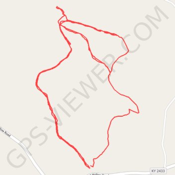
- Distance: 6.5 Km
- Elevation gain: 138 m
- Maximum elevation: 271 m
- Elevation loss: 138 m
- Minimum elevation: 225 m
- Moving time: 2 h 48 m
- Moving speed: 2.3 Km/h
- Maximum speed: 29.0 Km/h
- Total time: 5 h 22 m
- Global speed: 1.2 Km/h
Interactive trail map
Trail profile
- Distance: 6.5 Km
- Elevation gain: 138 m
- Maximum elevation: 271 m
- Elevation loss: 138 m
- Minimum elevation: 225 m
- Moving time: 2 h 48 m
- Moving speed: 2.3 Km/h
- Maximum speed: 29.0 Km/h
- Total time: 5 h 22 m
- Global speed: 1.2 Km/h
About this trail
Name: Jesse Stuart Nature Preserve trail, distance, elevation, map, profile, GPS track
Start: Shingle Mill Hollow Loop Trail, Greenup County, Kentucky, 41144, United States (38.54719 -82.84160)
End: Shingle Mill Hollow Loop Trail, Greenup County, Kentucky, 41144, United States (38.54734 -82.84155)
Coordinates: 38.54719 -82.84517 38.55562 -82.83833