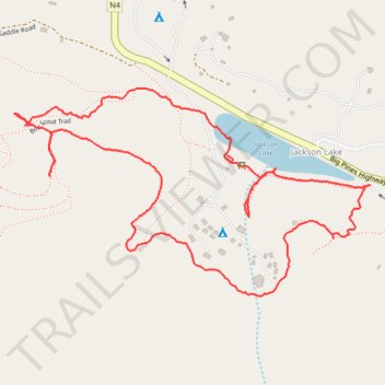
Boy Scout Trail loop
- Distance: 3.8 Km
- Elevation gain: 135 m
- Maximum elevation: 1,968 m
- Elevation loss: 135 m
- Minimum elevation: 1,872 m
- Moving time: 1 h 22 m
- Moving speed: 2.7 Km/h
- Maximum speed: 15.4 Km/h
- Total time: 1 h 45 m
- Global speed: 2.1 Km/h
Interactive trail map
Trail profile
- Distance: 3.8 Km
- Elevation gain: 135 m
- Maximum elevation: 1,968 m
- Elevation loss: 135 m
- Minimum elevation: 1,872 m
- Moving time: 1 h 22 m
- Moving speed: 2.7 Km/h
- Maximum speed: 15.4 Km/h
- Total time: 1 h 45 m
- Global speed: 2.1 Km/h
About this trail
Name: Boy Scout Trail loop trail, distance, elevation, map, profile, GPS track
Coordinates: 34.38867 -117.73399 34.39381 -117.72332