Nile Creek Trail
Interactive trail map
Trail profile
- Distance: 10.0 Km
- Elevation gain: 213 m
- Maximum elevation: 172 m
- Elevation loss: 213 m
- Minimum elevation: 22 m
About this trail
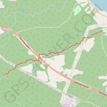
Name: Nile Creek Trail trail, distance, elevation, map, profile, GPS track
Coordinates: 49.40230 -124.70599 49.41842 -124.65202
Other hiking, mountain biking, running and outdoor activity trails
Click on a trail to view its statistics, map and profile.