Parks and Ride Stony
Milton Keynes Cycling
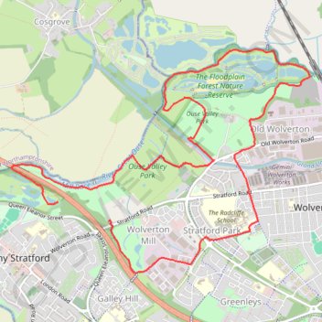
- Distance: 9.9 Km
- Elevation gain: 51 m
- Maximum elevation: 90 m
- Elevation loss: 53 m
- Minimum elevation: 61 m
- Moving time: 46 m 30 s
- Moving speed: 12.7 Km/h
- Maximum speed: 22.5 Km/h
- Total time: 49 m 16 s
- Global speed: 12.0 Km/h
Interactive trail map
Trail profile
- Distance: 9.9 Km
- Elevation gain: 51 m
- Maximum elevation: 90 m
- Elevation loss: 53 m
- Minimum elevation: 61 m
- Moving time: 46 m 30 s
- Moving speed: 12.7 Km/h
- Maximum speed: 22.5 Km/h
- Total time: 49 m 16 s
- Global speed: 12.0 Km/h
About this trail
Name: Parks and Ride Stony trail, distance, elevation, map, profile, GPS track
Coordinates: 52.05546 -0.85310 52.07412 -0.81267
Other hiking, mountain biking, running and outdoor activity trails
Click on a trail to view its statistics, map and profile.
The Jo Cox Way 2022 Day 3 Market Bosworth to Milton Keynes
United Kingdom > England > Leicestershire > Hinckley and Bosworth > Market Bosworth
Distance: 122.9 Km • Elevation gain: 953 m • Maximum elevation: 195 m