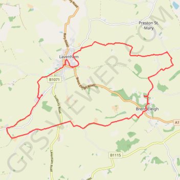
Brent Eleigh and Lavenham Walk
- Distance: 17.0 Km
- Elevation gain: 130 m
- Maximum elevation: 84 m
- Elevation loss: 129 m
- Minimum elevation: 46 m
- Moving time: 4 h 10 m
- Moving speed: 4.1 Km/h
- Maximum speed: 6.4 Km/h
- Total time: 5 h 31 m
- Global speed: 3.1 Km/h
Interactive trail map
Trail profile
- Distance: 17.0 Km
- Elevation gain: 130 m
- Maximum elevation: 84 m
- Elevation loss: 129 m
- Minimum elevation: 46 m
- Moving time: 4 h 10 m
- Moving speed: 4.1 Km/h
- Maximum speed: 6.4 Km/h
- Total time: 5 h 31 m
- Global speed: 3.1 Km/h
About this trail
Name: Brent Eleigh and Lavenham Walk trail, distance, elevation, map, profile, GPS track
Start: Hall Road, Brent Eleigh, Babergh, Suffolk, England, CO10 9SU, United Kingdom (52.09616 0.83519)
End: Hall Road, Brent Eleigh, Babergh, Suffolk, England, CO10 9SU, United Kingdom (52.09627 0.83516)
Coordinates: 52.08623 0.76853 52.11430 0.84749