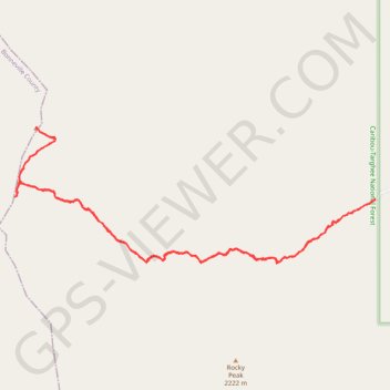
Drake Creek trail
- Distance: 6.0 Km
- Elevation gain: 432 m
- Maximum elevation: 2,375 m
- Elevation loss: 433 m
- Minimum elevation: 1,954 m
- Moving time: 1 h 40 m
- Moving speed: 3.6 Km/h
- Maximum speed: 6.5 Km/h
- Total time: 2 h 36 m
- Global speed: 2.3 Km/h
Interactive trail map
Trail profile
- Distance: 6.0 Km
- Elevation gain: 432 m
- Maximum elevation: 2,375 m
- Elevation loss: 433 m
- Minimum elevation: 1,954 m
- Moving time: 1 h 40 m
- Moving speed: 3.6 Km/h
- Maximum speed: 6.5 Km/h
- Total time: 2 h 36 m
- Global speed: 2.3 Km/h
About this trail
Name: Drake Creek trail trail, distance, elevation, map, profile, GPS track
Start: Drake Creek Trail, Teton County, Idaho, United States (43.59138 -111.20163)
End: 498, West 9000 South, Teton County, Idaho, 83455, United States (43.59138 -111.20160)
Coordinates: 43.58837 -111.22528 43.59486 -111.20160