Deer Mountain
Interactive trail map
Trail profile
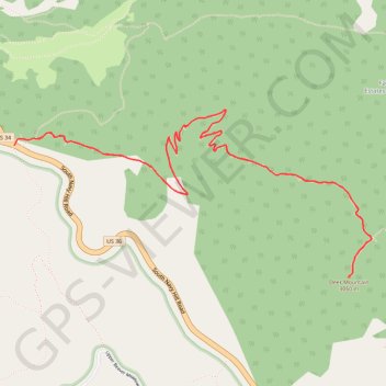
- Distance: 9.7 Km
- Elevation gain: 421 m
- Maximum elevation: 3,037 m
- Elevation loss: 421 m
- Minimum elevation: 2,717 m
About this trail
Name: Deer Mountain trail, distance, elevation, map, profile, GPS track
Start: South Navy Hill Road, Larimer County, Colorado, United States (40.38685 -105.60991)
End: South Navy Hill Road, Larimer County, Colorado, United States (40.38685 -105.60991)
Coordinates: 40.37920 -105.60991 40.38896 -105.58267
Other hiking, mountain biking, running and outdoor activity trails
Click on a trail to view its statistics, map and profile.
Deer Mountain Trail in Rocky Mountain National Park
United States > Colorado > Larimer County
The Deer Mountain Trail in Rocky Mountain National Park offers hikers a moderately challenging ascent through serene ponderosa pine forests, leading to panoramic summit views. Along the trail, you'll encounter vistas of Little Horseshoe Park and the Mummy Range, with occasional sightings of local wildlife like…
Distance: 9.8 Km • Elevation gain: 430 m • Maximum elevation: 3,038 m