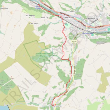
Cragg Vale to Hebden Bridge Walk
- Distance: 5.6 Km
- Elevation gain: 124 m
- Maximum elevation: 193 m
- Elevation loss: 201 m
- Minimum elevation: 103 m
- Moving time: 1 h 21 m
- Moving speed: 4.1 Km/h
- Maximum speed: 7.3 Km/h
- Total time: 1 h 26 m
- Global speed: 3.9 Km/h
Interactive trail map
Trail profile
- Distance: 5.6 Km
- Elevation gain: 124 m
- Maximum elevation: 193 m
- Elevation loss: 201 m
- Minimum elevation: 103 m
- Moving time: 1 h 21 m
- Moving speed: 4.1 Km/h
- Maximum speed: 7.3 Km/h
- Total time: 1 h 26 m
- Global speed: 3.9 Km/h
About this trail
Name: Cragg Vale to Hebden Bridge Walk trail, distance, elevation, map, profile, GPS track
Coordinates: 53.70498 -2.00866 53.73778 -1.99047