Tokopah Falls
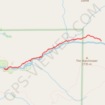
Interactive trail map
Trail profile
- Distance: 6.5 Km
- Elevation gain: 208 m
- Maximum elevation: 2,250 m
- Elevation loss: 208 m
- Minimum elevation: 2,065 m
About this trail
Name: Tokopah Falls trail, distance, elevation, map, profile, GPS track
Start: Lodgepole Road, Tulare County, California, 93262, United States (36.60485 -118.72401)
End: Lodgepole Road, Tulare County, California, 93262, United States (36.60484 -118.72396)
Coordinates: 36.60461 -118.72401 36.61302 -118.69445
Other hiking, mountain biking, running and outdoor activity trails
Click on a trail to view its statistics, map and profile.
Tokopah Falls Trail in Sequoia National Park
United States > California > Tulare County
The Tokopah Falls Trail in Sequoia National Park offers a delightful hiking experience, weaving through majestic forests and alongside the Marble Fork Kaweah River. Hikers can enjoy the serene beauty of the river, the towering granite cliffs, and the impressive Watchtower peak. The trail culminates at the base…
Distance: 6.5 Km • Elevation gain: 190 m • Maximum elevation: 2,243 m
Sequoia Tokopah Falls
United States > California > Tulare County
Distance: 6.3 Km • Elevation gain: 189 m • Maximum elevation: 2,257 m