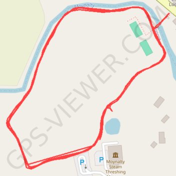
Moynalty Steam Threshing Field
Lunch Run
- Distance: 3.5 Km
- Elevation gain: 32 m
- Maximum elevation: 80 m
- Elevation loss: 35 m
- Minimum elevation: 71 m
- Moving time: 23 m 22 s
- Moving speed: 9.0 Km/h
- Maximum speed: 11.4 Km/h
- Total time: 24 m 19 s
- Global speed: 8.7 Km/h
Interactive trail map
Trail profile
- Distance: 3.5 Km
- Elevation gain: 32 m
- Maximum elevation: 80 m
- Elevation loss: 35 m
- Minimum elevation: 71 m
- Moving time: 23 m 22 s
- Moving speed: 9.0 Km/h
- Maximum speed: 11.4 Km/h
- Total time: 24 m 19 s
- Global speed: 8.7 Km/h
About this trail
Name: Moynalty Steam Threshing Field trail, distance, elevation, map, profile, GPS track
Coordinates: 53.78781 -6.89223 53.79020 -6.88816