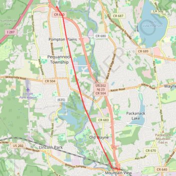
Trace of the completed Pompton Valley Rail Trail in Pompton Plains, NJ
- Distance: 16.7 Km
- Elevation gain: 57 m
- Maximum elevation: 62 m
- Elevation loss: 57 m
- Minimum elevation: 49 m
- Moving time: 1 h 29 m
- Moving speed: 11.1 Km/h
- Maximum speed: 19.0 Km/h
- Total time: 1 h 54 m
- Global speed: 8.7 Km/h
Interactive trail map
Trail profile
- Distance: 16.7 Km
- Elevation gain: 57 m
- Maximum elevation: 62 m
- Elevation loss: 57 m
- Minimum elevation: 49 m
- Moving time: 1 h 29 m
- Moving speed: 11.1 Km/h
- Maximum speed: 19.0 Km/h
- Total time: 1 h 54 m
- Global speed: 8.7 Km/h
About this trail
Name: Trace of the completed Pompton Valley Rail Trail in Pompton Plains, NJ trail, distance, elevation, map, profile, GPS track
Coordinates: 40.91526 -74.29902 40.98140 -74.26499