Fraser River Park
Interactive trail map
Trail profile
- Distance: 2.1 Km
- Elevation gain: 22 m
- Maximum elevation: 10 m
- Elevation loss: 22 m
- Minimum elevation: 0 m
About this trail
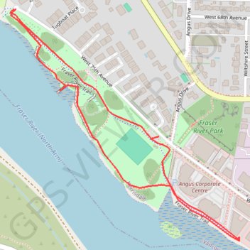
Name: Fraser River Park trail, distance, elevation, map, profile, GPS track
Coordinates: 49.20502 -123.15543 49.21083 -123.14663
Other hiking, mountain biking, running and outdoor activity trails
Click on a trail to view its statistics, map and profile.