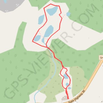
Hell's Gate - Kakahi Falls
Interactive trail map
Trail profile
- Distance: 1.9 Km
- Elevation gain: 27 m
- Maximum elevation: 345 m
- Elevation loss: 27 m
- Minimum elevation: 323 m
About this trail
Name: Hell's Gate - Kakahi Falls trail, distance, elevation, map, profile, GPS track
Coordinates: -38.06501 176.35797 -38.05861 176.36118