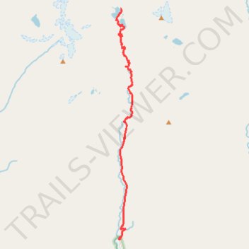
US. CA. Trinity Alps. Canyon Creek Lakes
- Distance: 14.6 Km
- Elevation gain: 949 m
- Maximum elevation: 1,759 m
- Elevation loss: 156 m
- Minimum elevation: 939 m
- Moving time: 5 h 15 m
- Moving speed: 2.8 Km/h
- Maximum speed: 11.1 Km/h
- Total time: 8 h 43 m
- Global speed: 1.7 Km/h
Interactive trail map
Trail profile
- Distance: 14.6 Km
- Elevation gain: 949 m
- Maximum elevation: 1,759 m
- Elevation loss: 156 m
- Minimum elevation: 939 m
- Moving time: 5 h 15 m
- Moving speed: 2.8 Km/h
- Maximum speed: 11.1 Km/h
- Total time: 8 h 43 m
- Global speed: 1.7 Km/h
About this trail
Name: US. CA. Trinity Alps. Canyon Creek Lakes trail, distance, elevation, map, profile, GPS track
End: Canyon Creek Trail, Trinity County, California, United States (40.97642 -123.02330)
Coordinates: 40.88719 -123.02597 40.97642 -123.01735