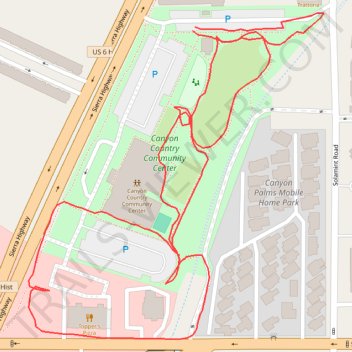
Canyon Country Community Center
- Distance: 1.4 Km
- Elevation gain: 11 m
- Maximum elevation: 449 m
- Elevation loss: 11 m
- Minimum elevation: 439 m
- Moving time: 21 m 59 s
- Moving speed: 3.9 Km/h
- Maximum speed: 6.7 Km/h
- Total time: 24 m 20 s
- Global speed: 3.6 Km/h
Interactive trail map
Trail profile
- Distance: 1.4 Km
- Elevation gain: 11 m
- Maximum elevation: 449 m
- Elevation loss: 11 m
- Minimum elevation: 439 m
- Moving time: 21 m 59 s
- Moving speed: 3.9 Km/h
- Maximum speed: 6.7 Km/h
- Total time: 24 m 20 s
- Global speed: 3.6 Km/h
About this trail
Name: Canyon Country Community Center trail, distance, elevation, map, profile, GPS track
Coordinates: 34.41657 -118.45539 34.41918 -118.45253