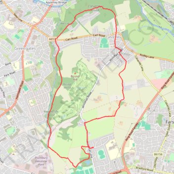
Calverley Loop Walk
- Distance: 9.1 Km
- Elevation gain: 157 m
- Maximum elevation: 202 m
- Elevation loss: 157 m
- Minimum elevation: 97 m
- Moving time: 1 h 59 m
- Moving speed: 4.6 Km/h
- Maximum speed: 19.4 Km/h
- Total time: 2 h 24 m
- Global speed: 3.8 Km/h
Interactive trail map
Trail profile
- Distance: 9.1 Km
- Elevation gain: 157 m
- Maximum elevation: 202 m
- Elevation loss: 157 m
- Minimum elevation: 97 m
- Moving time: 1 h 59 m
- Moving speed: 4.6 Km/h
- Maximum speed: 19.4 Km/h
- Total time: 2 h 24 m
- Global speed: 3.8 Km/h
About this trail
Name: Calverley Loop Walk trail, distance, elevation, map, profile, GPS track
Start: The Knoll, Thornbury, Farsley, West Yorkshire, England, LS28 5FB, United Kingdom (53.80981 -1.69368)
Coordinates: 53.80619 -1.70769 53.83506 -1.68380