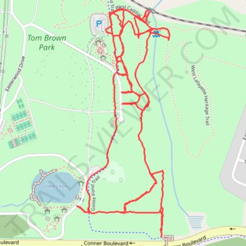
Tom Brown Park loop walk
- Distance: 5.5 Km
- Elevation gain: 58 m
- Maximum elevation: 28 m
- Elevation loss: 58 m
- Minimum elevation: 11 m
- Moving time: 1 h 17 m
- Moving speed: 4.2 Km/h
- Maximum speed: 7.2 Km/h
- Total time: 1 h 19 m
- Global speed: 4.1 Km/h
Interactive trail map
Trail profile
- Distance: 5.5 Km
- Elevation gain: 58 m
- Maximum elevation: 28 m
- Elevation loss: 58 m
- Minimum elevation: 11 m
- Moving time: 1 h 17 m
- Moving speed: 4.2 Km/h
- Maximum speed: 7.2 Km/h
- Total time: 1 h 19 m
- Global speed: 4.1 Km/h
About this trail
Name: Tom Brown Park loop walk trail, distance, elevation, map, profile, GPS track
Coordinates: 30.44031 -84.21323 30.44832 -84.20944